Hallasan
Hallasan
South Korea's highest peak (1,950 m) and UNESCO site, Mount Hallasan dominates Jeju Island with its seven trails, caldera and lava tunnels.
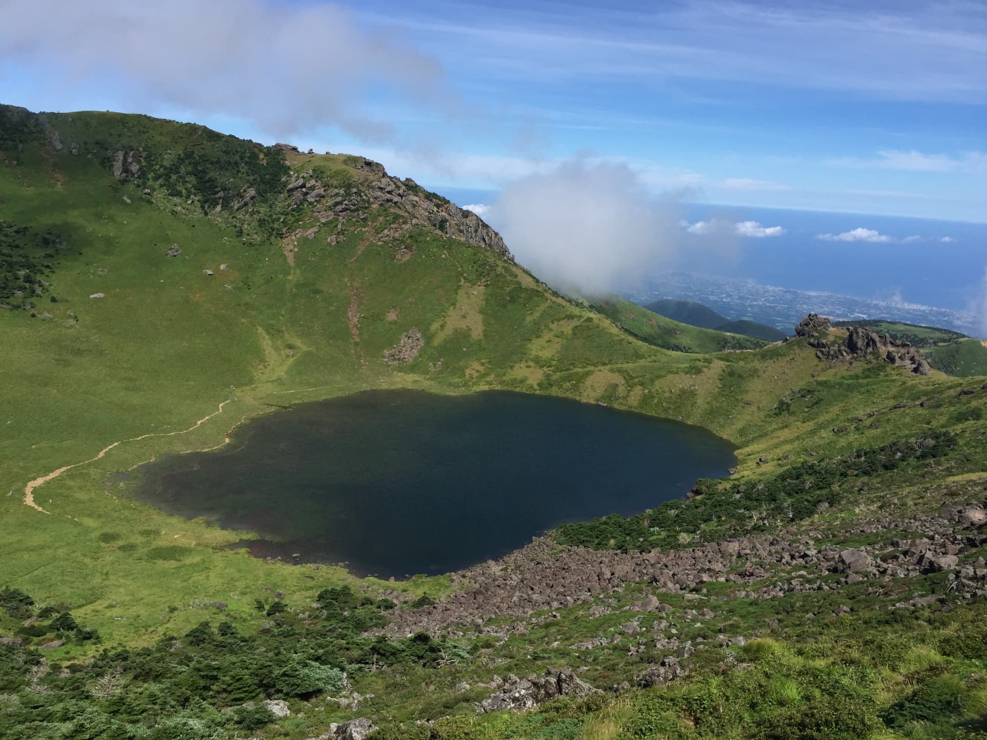
Mount Hallasan rises above Jeju Island to a height of 1,950 meters. South Korea's highest peak, this dormant shield volcano concentrates rare ecological diversity across its slopes—subtropical forests, highland meadows, craters, lava tunnels and a summit caldera. Hallasan National Park, designated a UNESCO World Heritage Site in 2007, can be explored via seven main trails, ranging from short family-friendly walks to demanding summit ascents.
Why visit Hallasan
Hallasan is more than just a peak: it is the geographic, geological and symbolic center of Jeju Island. In Korean, "Hallasan" literally means "Mount Halla," and the volcano dominates large parts of Jeju City and Seogwipo administrative territories. Its appeal rests on several factors:
- Exceptional biodiversity, with 1,565 plant species recorded, 17 mammal species, nearly 200 bird species and several amphibians, some of which are endangered (Siberian musk deer, leopard cat).
- Unique geological heritage: lava tunnels stretching for kilometers, secondary craters (the renowned oreums), a summit caldera where musk deer come to drink.
- Dual designation: National Park since 1970, then UNESCO World Heritage Site in 2007 as part of the "Jeju Volcanic Island and Lava Tubes" ensemble.
Eruptive history and formation
Hallasan displays all the characteristics of a shield volcano: gentle slopes, wide diameter, effusive rather than explosive eruptions. These fluid lava flows have shaped, over millennia, a network of underground tunnels among the world's longest, some stretching several kilometers and forming the basis of Jeju's UNESCO inscription.
The last documented eruption dates to 1007 CE. The volcano is today considered dormant, with residual activity limited to a few thermal springs on the island. Evidence of human occupation dating to the Stone Age has been found in Pillemot Cave, a volcanic cavity on the mountain's slopes—testimony to Jeju's ancient settlement.
What to see: the park's trails
The national park has seven marked trails, only two of which lead to the summit caldera (Baekrokdam). Distances and durations listed are for one way.
Trails leading to the summit
- Seongpanak (9.6 km, approximately 4 hours 30 minutes): the most popular route to the summit. Generally gentle slopes, passage through deciduous forests, views of Sanjung and Baekrokdam lakes and the secondary crater Saraoreum.
- Gwaneumsa (8.7 km): more challenging than the previous trail. The route passes through Guringul, a lava cave, then Tamna valley, and near a temple, shelters and former charcoal kilns.
Intermediate altitude trails
- Yeongsil (5.8 km, approximately 2 hours 30 minutes): ascent of the Yeongsil ridge between 1,300 and 1,550 meters, with unobstructed panoramas of the island. Moderate difficulty.
- Eorimok (6.8 km, approximately 3 hours): highly popular in spring for its royal azalea meadows in brilliant red. Views of the countryside and oreums. Steep sections at the start and finish.
- Donnaeko (7 km, approximately 4 hours): an interesting route for observing secondary craters and volcanic caves.
Short trails (accessible)
- Eoseungsaengak (1.3 km, approximately 30 minutes): brief climb to a small volcanic cone. On clear days, several nearby islands are visible from the overlook.
- Seokgulam (1.5 km, approximately 50 minutes): follows the Aheunahhopgol valley to a rocky wall and a small shelter.
Practical information
Park access is regulated: for the two trails leading to the summit (Seongpanak and Gwaneumsa), advance online reservation is now required, with daily quotas of hikers. The closing times for intermediate checkpoints are strict—a hiker arriving too late will not be permitted to continue to the summit.
Bring equipment suitable for high mountain conditions, even in summer: weather changes rapidly and the summit can be 10 to 15°C cooler than the coast. In winter, crampons and technical clothing are essential. Plan a full day for summit trails (8 to 10 hours round trip), a half day for intermediate trails.
When to go
Jeju enjoys a subtropical climate with marked seasonal transitions. Two windows stand out clearly for climbing:
- April to early June: mild temperatures, royal azalea blooms on the slopes (especially the Eorimok trail), lush vegetation.
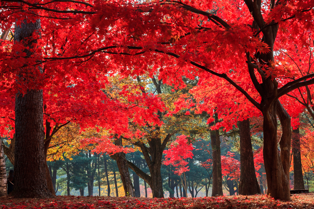
- Mid-September to late October: dry air, clear skies, autumn colors in the deciduous forests.
Summer is marked by monsoon and sudden storms; winter regularly covers the summit with snow and closes some sections. Check official park conditions and hours before departing.
How to get there
No cable car serves Hallasan: all trails are accessed by bus or car from Jeju City or Seogwipo. Several regular bus lines on Jeju's network serve the trail heads (Seongpanak, Eorimok, Yeongsil, Gwaneumsa, Donnaeko) from Jeju City's intercity terminal. Expect 30 minutes to 1 hour of travel depending on the target trail. Line numbers change regularly—check Jeju's bus network map or the official app before departing.
A rental car makes access simpler and faster; each trailhead has a parking lot that fills early in high season.
Nearby attractions
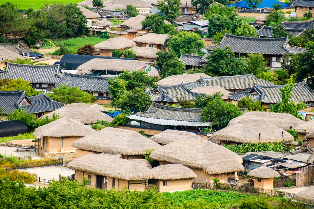
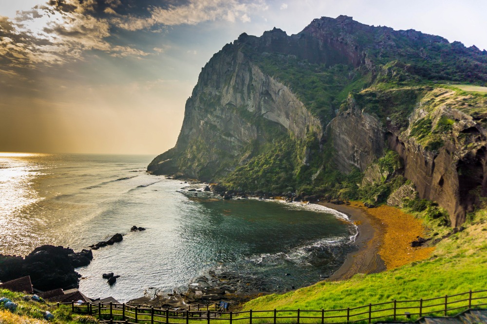
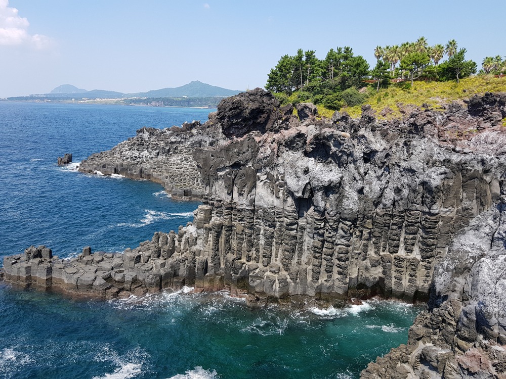
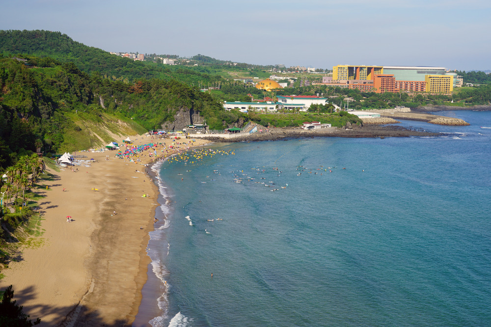
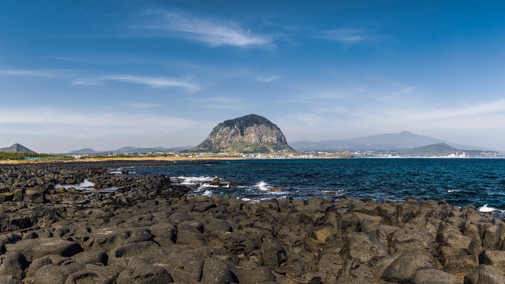
Once Mount Hallasan is explored, Jeju Island offers other remarkable volcanic and coastal sites (Seongsan Ilchulbong crater, Manjanggul lava tunnel, Cheonjiyeon waterfall). On the mainland, a South Korea trip can extend to very different attractions: the historic Gwanghwamun plaza in Seoul, Haeinsa Temple with its UNESCO-listed Buddhist tablets, the traditional village of Hahoe, or Haeundae Beach in Busan.
Frequently asked questions
Frequently asked questions
Yes. The two trails leading to the summit caldera (Seongpanak and Gwaneumsa) require advance online reservation, with daily hiker quotas. Intermediate altitude trails and short trails are not subject to this restriction.
Plan 8 to 10 hours round trip for Seongpanak or Gwaneumsa, starting early in the morning. Intermediate checkpoints close mid-day to ensure descent before nightfall.
April to early June for azalea blooms and mild temperatures, mid-September to late October for autumn colors and clear skies. Summer is rainy and winter brings snow at altitude.
The park is home to nearly 200 bird species and 17 mammal species, including the Siberian musk deer, occasionally spotted near the summit caldera. The leopard cat remains very rarely seen.
The Eoseungsaengak and Seokgulam trails, short and easy, suit families. The Yeongsil and Eorimok trails require decent fitness. The summit ascent is demanding and reserved for trained walkers.
Planning your trip
Hallasan fits naturally into an itinerary combining Jeju and mainland South Korea. To build a custom route blending volcanoes, temples and historic cities, explore our South Korea travel suggestions.
Nearby
Interested in this visit?
We can include it in your personalised itinerary.